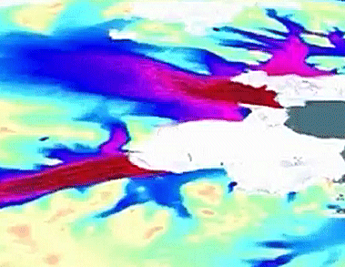
Eric Rignot and colleagues, University of California Irvine, USA, present the first comprehensive, high-resolution, digital mosaic of ice motion in Antarctica. The data were assembled from multiple satellite interferometric synthetic-aperture radar data acquired during the International Polar Year 2007–2009.
The map reveals huge areas of the continent that have never been charted before, like vast glacial formations moving up to 800 feet annually across the sloping Antarctic plains.
The reseachers believe that the map may redefine our understanding of ice-sheet dynamics and of how a warming climate is changing the continent.
- Ice Flow of the Antarctic Ice Sheet,
E. Rignot, J. Mouginot, B. Scheuchl,
Science 2011.
DOI: 10.1126/science.1208336 - Video on the findings by Reuters


